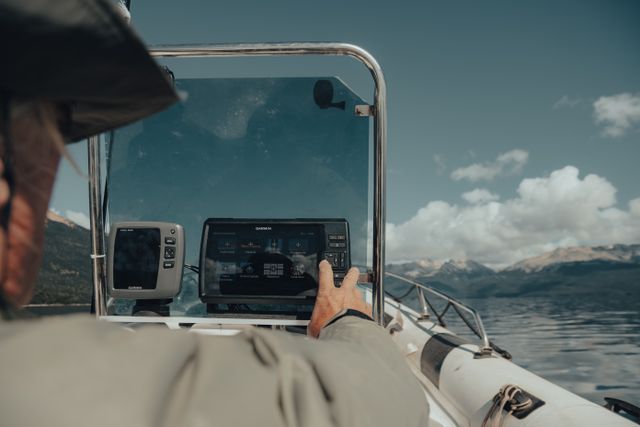

Marine navigation has become more accessible than ever. Instead of relying solely on dedicated chartplotters, today’s boaters can use mobile apps that provide charts, GPS navigation, weather forecasts, route planning, and real-time boating information. The challenge is deciding which app offers the features that best match the way you use your boat.
If you’re comparing the best marine navigation apps, it’s worth focusing on usability rather than simply choosing the app with the longest feature list. The best navigation app is one that helps you make safer, more confident decisions every time you’re on the water.
Start by thinking about where you boat
The type of water you navigate has a big influence on which features matter most.
For example:
- Inland lakes often require simple GPS navigation and depth information.
- Coastal waters benefit from tide and current data.
- Offshore trips may require weather overlays, offshore charts, and offline navigation.
Choosing an app designed for your typical boating environment will usually provide more value than paying for features you’ll rarely use.
Accurate charts are the foundation
Every marine navigation app relies on chart data.
Good charts should clearly display:
- Water depths
- Navigation markers
- Channels
- Hazards
- Marinas and boat ramps
High-quality charts help reduce uncertainty when exploring unfamiliar waterways and make route planning much easier.
GPS should be reliable and easy to follow
Modern navigation apps use your phone or tablet’s built-in GPS to display your position in real time.
A good navigation experience should allow you to:
- View your current location
- Create and save routes
- Mark waypoints
- Track your speed and heading
- Return safely to previous locations
These tools are valuable for both experienced boaters and those just getting started.
Weather information should be integrated
Weather conditions on the water can change quickly.
Many leading navigation apps now combine:
- Wind forecasts
- Wave height
- Tide predictions
- Marine weather alerts
- Water level information
Having these tools within the same app makes trip planning more convenient and reduces the need to switch between multiple weather services.
Offline capability is an important feature
Internet service is not always available once you’re away from shore.
Apps that allow you to download charts before leaving the dock provide added confidence because navigation continues even without a cellular connection.
For boaters exploring remote lakes, rivers, or coastal waters, offline access can be one of the most valuable features available.
Simplicity often improves safety
A navigation app should make information easier to understand, not more complicated.
Many newer apps focus on:
- Clean chart displays
- Simple menus
- Easy route planning
- Clear depth visualization
A well-designed interface allows boaters to quickly find important information without becoming distracted while underway.
Community features can add useful local knowledge
Some marine navigation apps now include community-generated information that complements official charts.
These features may include:
- Reported hazards
- Popular anchorages
- Boat ramps
- Fishing locations
- Marina recommendations
Local boating knowledge can be especially helpful when visiting new waterways where conditions may change over time.
Consider your long-term boating needs
It’s also worth thinking about how your boating habits may evolve.
A casual weekend boater may only need:
- GPS navigation
- Basic charts
- Route planning
Someone boating more frequently might benefit from:
- Offline navigation
- Advanced weather overlays
- Automatic route planning
- Custom depth shading
- Expanded chart coverage
Choosing an app that can grow with your boating experience may save you from switching platforms later.
Final thoughts
There are many excellent marine navigation apps available today, each offering a different combination of charts, navigation tools, weather information, and planning features.
Instead of searching for a one-size-fits-all solution, focus on the app that fits your boating style, the waters you explore, and the features you’ll actually use. A navigation app that feels intuitive and provides reliable information will help you enjoy every trip with greater confidence and peace of mind.