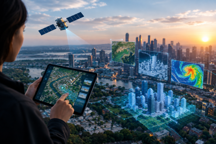

Geospatial technology provides individuals and organizations with access to useful information about the Earth. It can be used in a wide range of circumstances, such as to figure out navigation, to plan urban zones, to track climate change, and to find the most optimal business locations to purchase. There’s no denying its impact.
So, how is geospatial technology evolving right now? Technology has zoomed along in the past few decades, and that includes the world of satellite networks and other types of geospatial data.
Geospatial AI
If you have kept up with technology at all in recent years, you will know just how much of an impact artificial intelligence has had on the world as a whole – and that includes business big and small.
That impact has been felt in the world of geospatial data, too. Language learning models have made geospatial technology more automated, meaning people no longer have to spend weeks interpreting satellite images or searching for specific data. Just one simple query can pull up exactly what they need.
One example of geospatial AI is SkyFi’s AI tool, Rowan. Rowan is a SkyFi exclusive geospatial AI tool that has completely simplified access to satellite imagery and analytics. It has unique navigational AI capabilities within the SkyFi app, allowing people to access data at just a moment’s notice. It allows for plain-language searches, too, so users don’t have to have specialized space/Earth observation knowledge to make the most of this advanced tool.
Real-Time Maps
It used to be that any map you looked at was a picture from the past. However, this has changed, as continuous monitoring with autonomous drones and mobile mapping fleets means that many of the maps you now see are reflective of what is actually happening in real life.
Of course, this is endlessly useful for all types of businesses as well as individuals. You can monitor fleets in real time, for example. People can access live congestion alerts, which can mean they can switch routes if necessary.
3D Modeling of Cities and Complexes
Another incredible way geospatial technology has evolved in recent years is the development of 3D modeling. By using live sensor feeds and other tools like space data AI, people can build interactive 3D models of cities and towns, which completely transforms urban management. City planning becomes a whole lot easier, and it can also be used to simulate a variety of situations, such as changes to the weather or environmental conditions. It also means massive error reduction for those investing in commercial real estate.
The Future of Geospatial Technology
With how advanced geospatial technology is right now, you can only imagine where it might go from here.
The data itself will likely become much more detailed. As camera tech evolves, images even from afar will likely become crystal clear, making the data that much more useful. Advancements in AI will also likely make data access easier, and people may be able to create their own platforms and tools using this data faster than ever before.